The New York Geographic Alliance and the Genesee Valley Educational Partnership are teaming up to bring our new workshop, Good Practices in Geography, to the secondary teachers of social studies in Western New York. It will be held at the Genesee Valley BOCES Campus in LeRoy, NY on Thursday October 6, 2016.
Here is a brief description of the goals of this workshop:
Geographic Reasoning is one of six Social Studies Practices that are emphasized in the NYS Social Studies Framework, but Geographic Reasoning involves more than reading a map. In this interactive workshop, participants will learn how to be more successful in connecting geography to their curriculum in middle school social studies, Global History and Geography, and American History. Lessons will be presented that are appropriate for middle and high school students, and teachers will have time to work with colleagues to come up with their own lesson ideas. Materials and resources will be provided including Clickable PDF maps, GeoHistoGrams, and other tools.
Expected Outcomes: Participants will gain a deeper understanding of Geographic Reasoning in the Social Studies Framework and how it applies to their curriculum. Participants will also receive resources and support for continuing development of instructional units and lessons that involve Geographic Reasoning.
There will be lessons for all grade levels 7-12. Teachers will be provided with materials they can use in their classrooms, including printed copies of lessons, digital materials on a flash drive, and the Atlas of New York - Legacies of the Erie Canal. If you interested in registering for this PD, contact Jessica Cramer at Genesee Valley.
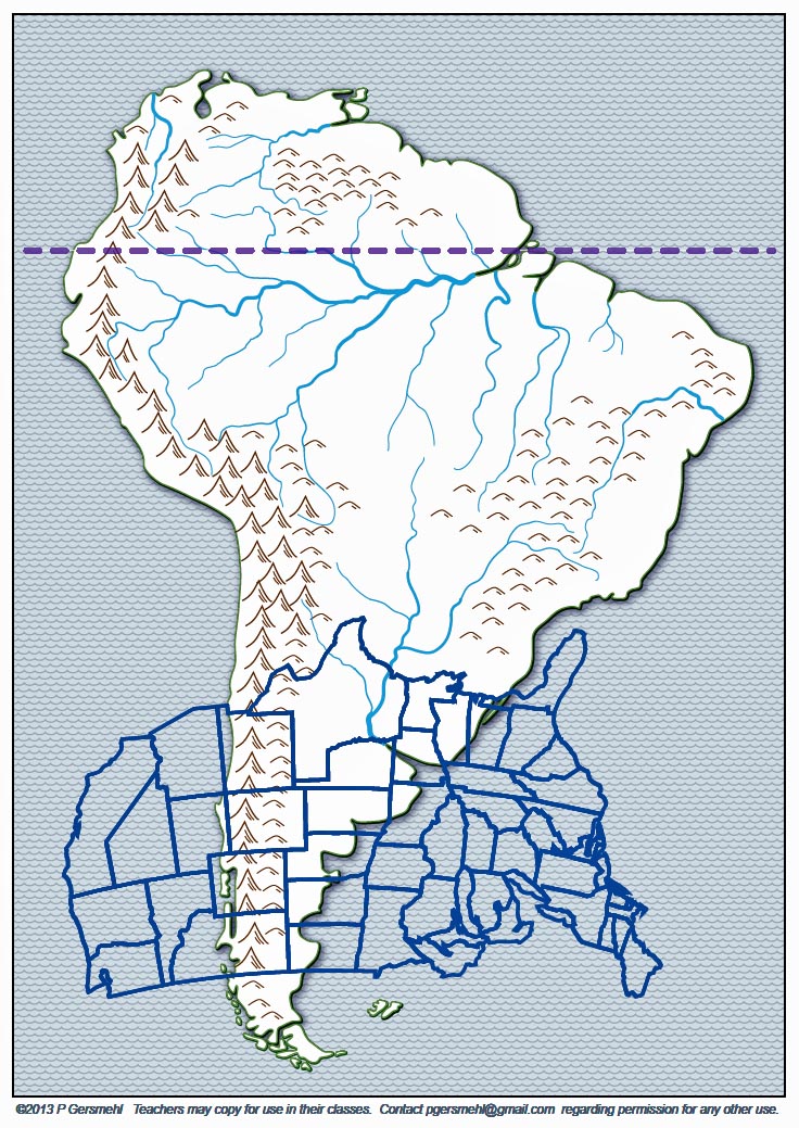 To the left is an example of a lesson that will be presented at the Good Geographic Practices workshop on October 6th.
This is a map created from a "clickable pdf" map of South America. It is part of a World Regions project produced by Phil Gersmehl and the Michigan Geographic Alliance. You can make the map simple or complex by opening or closing layers. On this map, the United States is superimposed on to South America. It's at the correct latitude.
Why is the United States upside-down? Why is it reversed?
Can you see that Texas is located similarly to Paraguay and that Miami almost touches Sao Paulo? (We call them analogies).
Can you also see that there is no place in the United States that compares to the Amazon Rainforest?
Location:
80 Munsen Street LeRoy NY 14482
Event Date:
Thursday, October 6, 2016 - 5:00am